
Finding Mechanicsville Street Records
Use an address to locate a parcel, then use the parcel identifier to test each next record. Hanover calls that identifier a GPIN or account number. It is more stable than a mailing city label and helps distinguish similarly named roads. A property address can lead to a parcel; the parcel can lead to an owner name, subdivision and deed reference; the deed index can lead backward through transfers. None of those steps proves who occupies a home today. They do create a careful record trail for property history, family research, estate questions, and a check on a known address.
- Search the address in the Hanover County Real Estate Assessments route and record the GPIN, situs address, tax year, and any visible deed reference.
- Open the county parcel map to view the parcel, road, subdivision and adjoining geometry. Treat the map as a locator.
- Use the exact owner or party name in the Clerk’s land index. Search both grantee and grantor entries, keeping the book, page, instrument number and record date.
- Inspect the recorded deed and any cited plat. A plat can clarify a lot boundary or subdivision when the map view cannot.
- For an older household question, pair the deed trail with directories, newspapers, church material and census research. Each source describes a different relationship to the address.
Virginia’s voter-status form is only for the voter or an authorized user. Public precinct-list inspection follows a separate statutory route, so it should never be treated as a street-wide online lookup.
Mechanicsville Street Directory Parcel Fields
The public Hanover parcel and GIS application has an agreement screen and an address-oriented search box. Its available modes make it useful when a street number is incomplete or a road name has variants. County data are updated monthly, but the county warns that map lines are general information and not a survey, title opinion, or legal boundary determination.
| Portal field | Input type | Required | Use and format |
|---|---|---|---|
| Enter Address | Text | No | Street-address starting point |
| Address | Search mode | Choose one mode | Locates a mapped parcel |
| Account # / GPIN | Identifier | No | Best pivot after a parcel is identified |
| Road | Search mode | No | Useful for a named-road scan |
| Parcel Filter | Map control | No | Includes “Filter All Parcels By Default” |
Save the retrieval date with the GPIN. Assessment data can show an owner and a tax mailing address, but a mailing address is not evidence of present occupancy. That distinction prevents an address search from becoming an unsupported claim about a household.
Note: County GIS is a practical locator, while a recorded deed or plat is the stronger source for a legal parcel conclusion.
Mechanicsville Address Parcel Inventory
For a street-by-street research note, copy only the fields that help reconcile sources. The assessor’s own record context supports a compact inventory rather than a profile of people at an address. Annual values are assessments made at fair market value under Virginia law, not a sale price or a title finding.
| GPIN or account | Links the parcel search, map view, and an address-history request. |
|---|---|
| Situs and mailing address | Keep them separate, since they answer different questions. |
| Tax-year values | Land, improvement, and total assessment as displayed. |
| Subdivision or lot | A useful clue for recorded plats and historic road work. |
| Deed or sale reference | A pivot to the Clerk’s instrument, book, or page. |
| Map context | Neighboring GPINs and coordinates, marked as map evidence only. |
If an older assessment card, appraisal worksheet, tax-map annotation, or address-history record is absent online, request the existing record from the responsible office through the Hanover FOIA portal. Name the GPIN, address, tax year, record type and preferred format. The county need not create a new person list or conduct a broad investigation.
Mechanicsville Street Directory Map Layers
Hanover Mapping Services groups the parcel application with road, election, flood-zone, school-district, surveyor-map, land-use-case, address-verification and GIS Data Hub resources. A road search can establish which parcel features sit along a segment. Election, flood, and school layers answer separate geography questions and should not be used to infer an owner or resident.
For a street-name check outside the live application, the county also offers a County Street Map, a detailed street-map book with 330 pages and 728 maps, a 52-page street-name index, and 2024 tax-map PDFs. Those materials can identify a map sheet or older road wording. They remain navigation aids, so a recorded deed or plat is still the source for a legal parcel conclusion.
The Mapping Services catalog is shown in this county capture.
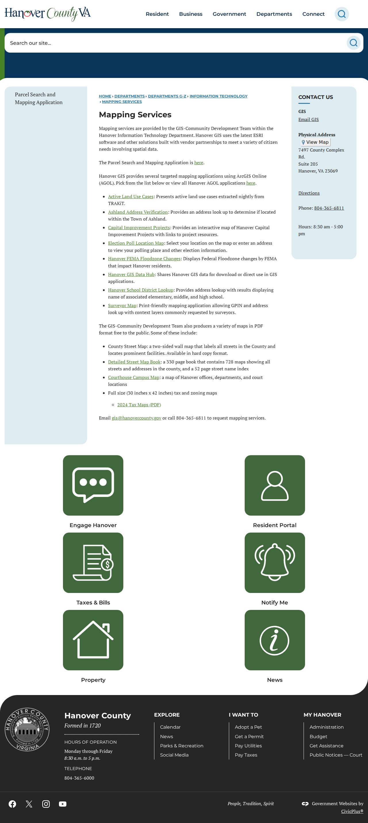
Use the map layers to refine an address and to find the relevant map or tax-map sheet, then confirm legal parcel history with the recorded instrument.
For a whole named street, work in short address ranges and log the map date. Geometry, street labels, subdivision names, and map layers can change without changing the deed chain.
Mechanicsville By Address Assessment Route
The Real Estate Assessments page directs users to the parcel search and explains the county’s annual assessment function. Mechanicsville parcels remain Hanover County parcels even where a postal label says Mechanicsville. The office lists an in-person route at 7515 Library Drive, Room 232, Hanover, with assessment questions handled at 804-365-6029 during its posted weekday hours.
This official assessment capture shows the search choices and county context.
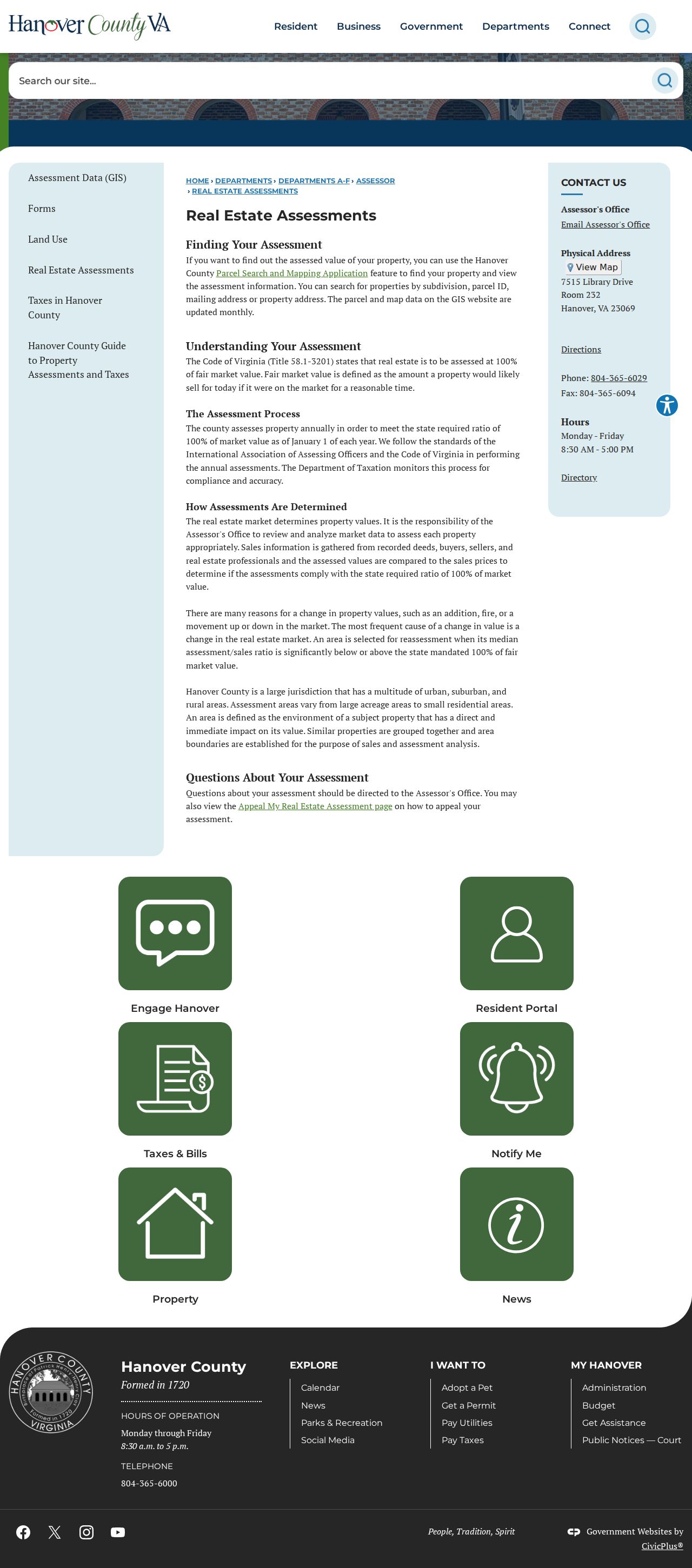
It is a good first stop for a GPIN or property address, but it should be followed by the Clerk’s index when the task is to establish a transfer or prior owner.
Mechanicsville Street Deed Trail
The Hanover Circuit Court Clerk Self-Service page separates free indexes from document-image access. Name-searchable deed books are listed from 1959 forward; Historic Index Search and Historic Books cover grantor, grantee, deed, and plat material from 1865 through 1967. A grantor entry records a party transferring an interest. A grantee entry records the party receiving it. Search both sides, because one index style may not appear in the other.
Remote images require Secure Remote Access, listed by the Clerk as a monthly or annual subscription. Alternatives are the records room at 7530 County Complex Road, mail copy requests to the Hanover Circuit Court Clerk, P.O. Box 39, Attention Copies, Hanover VA 23069, or the Clerk’s listed contact route. Standard copies are listed at 50 cents a page and certified copies add $2; land-record help is available at 804-365-6864.
Use the access route that matches the task. The free index is useful for locating an instrument. The records room permits direct work with the Clerk’s material, while the mail and copy route requires a party name, case number, or book and page. A focused county request can be appropriate for an older existing assessment or tax-map item that is not online. Keep an image, a certified copy, and a map view distinct because they carry different evidentiary weight.
- Parcel
- A tax-map unit tied to a GPIN, not a complete list of people associated with a place.
- Situs address
- The physical property location, which can differ from a tax mailing address.
- Plat
- A recorded map of land, lots, lines, or easements that a deed may cite.
- Criss-cross directory
- A reverse address index, when a collection actually includes one, used as a dated historical lead.
Mechanicsville Street Names Through Time
The DHR architectural history identifies the 1816 turnpike-era settlement and references roads including Atlee, Luck, Pickett, Signal Hill, older Strain or Edgeworth, Elm, and Mechanicsville Turnpike. Those are search terms for deeds, tax maps, newspapers, plats and directories, not proof that a current number existed in an earlier period.
No official Mechanicsville street-renumbering chronology was located. Preserve an original road spelling and legal description beside any modern GPIN crosswalk. The county street-map book, with its street-name index and map sheets, is a navigation aid; a recorded plat and deed control legal parcel history.
Mechanicsville Street Directory Source Matrix
Each address-keyed source has a narrow purpose. This matrix keeps the street directory focused on records that can actually be searched or requested by a property location.
| Address record | Custodian | Street-level value | Access route |
|---|---|---|---|
| Assessment and parcel record | Hanover Real Estate Assessments | GPIN, situs, owner display, values and subdivision | Parcel app, office, or targeted FOIA request |
| Parcel map and layers | Hanover Mapping Services | Road, parcel geometry, adjacent GPINs, map context | Public viewer and map resources |
| Deed and plat index | Hanover Circuit Court Clerk | Transfers, legal descriptions and prior links | Free indexes, records room, subscription images, copies |
| Historic reference sources | Libraries, HCHS and LVA | Dated road, household, parish, newspaper, land or census leads | Library help, microfilm, interlibrary loan and collections |
The city directory collections can help with a dated household clue, but exact Mechanicsville runs were not verified from the broad regional finding aid. Use the Mechanicsville city directories collection route to verify a title and year before relying on it.
Mechanicsville Street Directory Postal Context
A ZIP label is not a municipal boundary. Mechanicsville is an unincorporated Hanover County community and Census-designated place, so a postal city name does not create a city clerk or city land office. Hanover’s postal table and the current USPS L007 reference list 23111 and 23116 with a Mechanicsville label. For delivery questions use the USPS ZIP lookup; for legal location retain the county, GPIN, plat and record-office context.
When the street directory search starts with only a postal address, note the postal city exactly as returned and then compare it with the parcel’s situs address. A location can have the Mechanicsville label yet be outside the CDP context a researcher expected. The county assessor, Clerk, and GIS sources use their own record identifiers. A GPIN, instrument number, tax-map sheet, road name, and subdivision are much better reconciliation fields than a ZIP alone. This is also useful when a historic source uses a route, a church, a crossroads, or a nearby post-office name instead of a modern street number.
Note: A parcel may be near a ZIP, precinct, school, or flood boundary without being governed by that boundary for every record purpose.
Mechanicsville Street Directory Limits
Property data can identify a parcel or owner shown in a record. It cannot establish every person who lives there, a private contact route, or a complete household history. Protected addresses, redactions, sealed records, and the difference between a mailing address and a situs address can all produce a partial result. The Virginia Address Confidentiality Program is one lawful reason an expected physical address may not appear in an accessible record.
Virginia’s Address Confidentiality Program provides eligible recent survivors of domestic violence, stalking, sexual violence, child abduction, or human trafficking with a substitute address for mail forwarding. It does not make every record disappear, but an omitted address can reflect that program, a statutory protected-address rule, a post-office box, or redaction. Treat the omission as a limit, not an invitation to rebuild the location from other sources.
Lawful personal use. Use Mechanicsville street records for careful property, family, estate, or civic research. Do not use an address trail to stalk, harass, intimidate, or harm anyone.
When records conflict, keep the source, date, and identifier rather than forcing a match. Ask the specific custodian to explain a missing or redacted existing record.